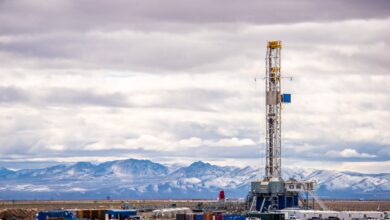
New geosteering platform offers high-resolution, real-time measurements
Most existing geosteering methods require operators to wait for cuttings to return from the bit, or for logging-while-drilling tools placed back from the bit to analyze the cuttings. AnTech has launched RockSense, a high-resolution geosteering system that provides near-instantaneous measurements on conditions at the bit so a directional driller can quickly determine which formation is being drilled. In this video from 27 March at the 2018 SPE/ICoTA Coiled Tubing and Well Intervention Conference in The Woodlands, Texas, where the technology was launched, Managing Director Toni Miszewski explains how RockSense enables timely geosteering decisions. He also discusses how AnTech helped an operator in Appalachia access target zones and deliver a productive sidetrack.


